Kanto Region
Free illustration materials
-
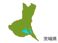 Map of Ibaraki prefecture (colored) Material
 -
 Tokyo-Square dot design map
 -
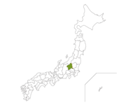 Japanese map and Gunma prefecture
 -
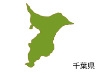 Map of Chiba prefecture (colored) Material
 -
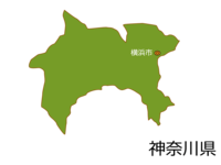 Map of Kanagawa prefecture and Yokohama city
 -
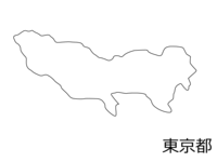 Blank map material of Tokyo
 -
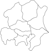 Blank map of Kanto region (vector data)
 -
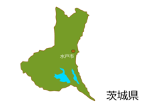 Map of Ibaraki prefecture and Mito city
 -
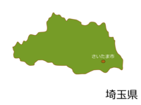 Map of Saitama Prefecture and Saitama City
 -
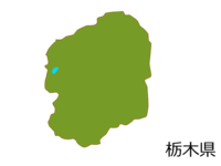 Tochigi prefecture map (colored) material
 -
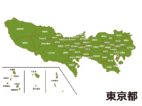 Map of Tokyo (by city)
 -
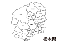 Tochigi prefecture (by municipality) blank map material
 -
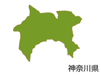 Map of Kanagawa prefecture (colored) Material
 -
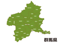 Map of Gunma prefecture (by municipality)
 -
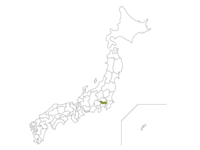 Japanese map and Tokyo
 -
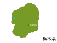 Map of Tochigi prefecture and Utsunomiya city
 -
 Chiba-Square dot design map
 -
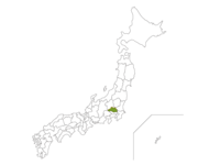 Japanese map and Saitama prefecture
 -
 Tochigi prefecture blank map material
 -
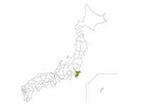 Japanese map and Chiba prefecture
 -
 Ibaraki Prefecture-Square dot design map
 -
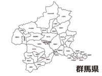 White map material of Gunma prefecture (by municipality)
 -
 Map of Gunma prefecture (colored) Material
 -
 Ibaraki prefecture blank map material
 -
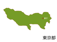 Map of Tokyo Metropolitan Government Building (Shinjuku Ward)
 -
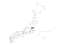 Japan map and Tochigi prefecture
 -
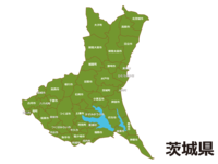 Map of Ibaraki prefecture (by municipality)
 -
 Saitama Prefecture-Square dot design map
 -
 White map material of Chiba prefecture
 -
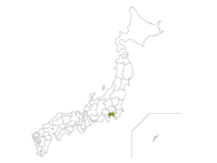 Japanese map and Kanagawa prefecture
Popular images
-
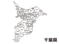 White map material of Chiba prefecture (by city)
 -
 Map of Ibaraki prefecture (by municipality)
 -
 Map of Kanagawa prefecture (colored) Material
 -
 Ibaraki prefecture blank map material
 -
 Japanese map and Kanagawa prefecture
 -
 Map of Gunma prefecture (colored) Material
 -
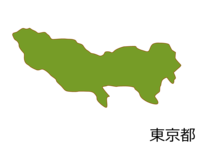 Map of Tokyo (colored) Material
 -
 Ibaraki Prefecture-Square dot design map
 -
 Map of Kanagawa prefecture and Yokohama city
 -
 White map material of Gunma prefecture (by municipality)
 -
 Map of Tokyo (by city)
 -
 Map of Saitama Prefecture and Saitama City


